views
Waterlogging, landslides, traffic disruptions and a yellow alert to keep a close watch on the situation — As Maharashtra struggles with heavy rainfall drowning capital Mumbai and adjoining areas, parched Delhiites are staring hard into the skies for just a glimmer of rains to get them relief from the sultry weather and rising, unbearable humidity.
While the chaos in Maharashtra is not something Delhi is keen on facing — the Capital is also notorious for serpentine queues of vehicles on waterlogged roads during monsoons — there is no denying that the rising heat has made them a tad bit jealous of states drenched by the monsoons.
The India Meteorological Department (IMD) issued a heavy rainfall alert for Maharashtra on Wednesday and the next two days, as state capital Mumbai continued to witness heavy downpour for the third consecutive day, resulting in a landslide near a chawl, water-logging at many places and traffic disruptions. IMD Director General Mrutunjay Mohapatra said an off-shore trough lies across the Gujarat and Maharashtra coast and low pressure over west Madhya Pradesh, resulting in heavy rainfall over Maharashtra and Gujarat. The IMD has issued a ‘red alert’ for south Konkan, Goa and south central Maharashtra from July 6-8. It said heavy to very heavy rainfall is very likely at a few places with extremely heavy rainfall at isolated places during this period. It issued an ‘orange alert’ for north Konkan.
For north central Maharashtra, east Vidarbha and west Vidarbha, the IMD issued a ‘yellow alert’ for Wednesday and orange for Thursday and Friday. There was a ‘yellow alert’ for the Marathwada region, forecasting heavy rainfall on Wednesday and the next two days. The MeT department issues four colour-coded predictions based on the prevailing weather systems. The green colour indicates no warning, yellow is to keep a watch, orange is to stay alert, while red means a warning and that action needs to be taken.
Skymet, the private weather forecasting company, said active monsoon conditions will likely continue for the next 10 days due to the development of an intense low-pressure system. It said there could be extremely heavy rains in parts of Maharashtra, including Mumbai, and Gujarat on Thursday and Friday. Several parts of the state have been witnessing heavy rainfall since July 4. In many parts, rivers have been flowing near the danger mark and inundating low-lying areas.
Capital sweats
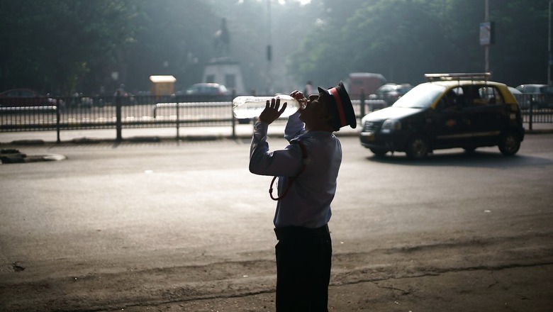
While isolated showers temporarily brought down the temperatures in some parts of Delhi, a partly clouded sky accompanied with high humidity increased the discomfort during the afternoons across the Capital. The weather department had predicted rains for Wednesday but so far, the Rain Gods seem to have missed the date, again.
According to Skymet, the national capital is all set to see some rainfall activity from Wednesday to July 8, and even spilling up to July 9. While these will not be extremely heavy spells of rains, some pockets may receive heavy showers. This could also signal the end of the humidity that has been making the summer unbearable.
What June brings
The first month of the Southwest Monsoon, June brings large-scale rainfall variations as rains gradually progress across the country due to currents being formed. In the last 20 years, 11 years have seen a rainfall deficit in June.
This year, IMD data showed that as many as nine states and one UT from the area covered by Southwest Monsoon have received deficit rainfall with Kerala registering the maximum, minus 55 per cent less than the expected as on date.
In IMD parlance, rainfall that shows minus 20 to minus 59 per cent departure from normal, i.e. the long period average (LPA) for that region/state, is termed as ‘deficit’. Similarly, normal rainfall is between minus 19 per cent to plus 19 per cent range of the LPA.
Forecasting the rainfall for June month on May 31, IMD Director General, Meteorology, Mrutyunjay Mohapatra had said: “Normal or above normal rainfall is most likely over northern parts of south peninsula, some parts of east India and many parts of northwest & central India. Below normal rainfall is most likely over many parts of northeast India, some pockets of central & east India and southern parts of south peninsular India.”
According to the Indian Express, during June, the Madden Julian Oscillation (MJO) — the rain-bearing, eastwards propagating intraseasonal circulation over the tropical atmosphere —did not bring much rainfall over India. An active rainfall spell over western Pacific regions (eastern China) — known as Mei Yu Front — was also keeping moisture away from the Indian region, the report said.
Will July be better?
Since June proved to be a deficit, the expectations are from this month to take up pending Kharif sowing activities. According to the IMD, for the first time in this season, the Southwest Monsoon is in its active phase and will bring widespread rainfall over the entire country except the Northeast, West Bengal, Bihar and Jharkhand. The monsoon will remain active at least for a week to 10 days, mainly due to rainfall associated with a low pressure system prevailing over north Odisha and south Jharkhand.
There will also be strong and moist westerly winds blowing from the Arabian Sea, causing widespread rainfall and isolated heavy spells along the west coast, importantly Konkan and Goa, until July 8.
Read all the Latest News, Breaking News, watch Top Videos and Live TV here.


Comments
0 comment