
It is almost the end of December, but minimum temperatures across large parts of Northwest India are still a few degrees above-normal. Even though a thick blanket of fog has descended on the region, the winters are ‘mild’ and far from what they normally used to be at this time of the year.
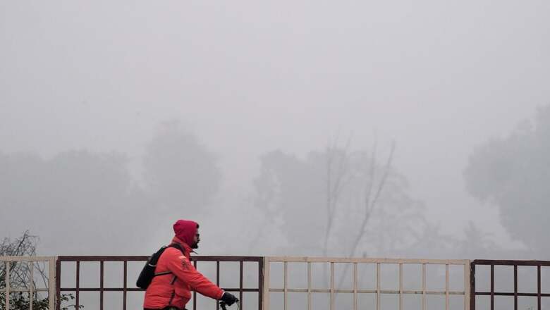
The fog is likely to get denser Wednesday onwards starting from Punjab, Uttar Pradesh and stretching up to extreme north Madhya Pradesh till December 31. The visibility in some parts of Punjab has dropped to 0 metres during night, and less than 50 metres at Indira Gandhi International Airport in Delhi.
But the night temperatures over north-western states are still settling around 7-10°C and hovering around 11-12°C in Bihar, Jharkhand, Chhattisgarh, Vidarbha and Odisha — higher than usual. The minimum temperatures are at least 2-3°C above-normal over several parts of Punjab, Delhi, West Rajasthan, Uttar Pradesh, Bihar, Jharkhand, Gangetic West Bengal, Gujarat as well as northeast India, according to India Meteorological Department (IMD).
Delhi recorded a minimum temperature of 7.8℃ on Wednesday, a degree above-normal, while it touched 22℃ during the day. The lowest it has recorded this month is 4.9℃.
The impacts are more pronounced up north, where scarce rainfall/snowfall has disrupted weather patterns. “This winter has definitely been warmer than last year. In Ladakh, the mercury falls far below 16-17°C around this time, however, so far it has hit around -12℃. The precipitation has been dismally low, even lesser than last year,” says Sonum Lotus, head of the Met Centre in Leh.
Meteorologists attribute the absence of a chilly weather to the absence of strong western disturbances this month. These extra-tropical storms originate from the Mediterranean Sea in the west, hit the western Himalayan region and are responsible for most of the rainfall over North India during winter.
GLOBAL WARMING LARGER THAN EVER BEFORE
But most disconcerting is how global warming has started to dominate the weather patterns all through the year. The winter is indeed setting later than usual and is not as cold as it used to be. November and December have been sunnier than usual, with no cold days/ cold waves yet.
“The minimum temperatures over north-west India have been gradually increasing over the years. This is why we do not see a very harsh winter, and cold waves like before. But such conditions are also a characteristic of El Niño years when the winters are normally not as cold and the ensuing summer is even hotter,” says M Rajeevan, former secretary to the Ministry of Earth Sciences.
It does look a lot like a typical El Niño winter — the period when the sea-surface temperatures in the equatorial Pacific Ocean are higher-than-usual, and bring warmer weather over India, especially during December to February. However, scientists studying the global patterns warn that these dynamics too have altered this year.
“The overall warming has been much larger than expected this year, and it has dominated all the weather phenomena. So, the El Nino pattern and its impact on the Indian weather has also been quite unexpected and unusual,” said Professor Raghu Murtugudde from the Indian Institute of Technology (IIT), Bombay.
The world is already 1.1℃ warmer than pre-industrial levels, and 2023 is inching closer to becoming the warmest on record, as per the World Meteorological Organization (WMO). According to the US-based NOAA, the ongoing El Niño conditions are also expected to continue through the winter and become weaker during April-June.
WHEN CAN WE EXPECT THE WINTER ‘CHILL’?
The IMD has already predicted above-normal minimum temperatures over most parts of India from December to February this season. It had also stated that the occurrence of cold waves is also expected to be below-normal.
The latest forecast suggests no significant change in temperatures at least till the December 31, except a dense layer of fog that is likely to persist. But, a fresh Western Disturbance on the night of December 30 could bring down the temperatures further and clear the fog.
The system is expected to bring light isolated rainfall over J&K-Ladakh region as well as Himachal Pradesh, Uttarakhand during December 31, 2023 to January 2, 2024. Some parts of Uttar Pradesh, East Rajasthan, Madhya Pradesh, Chhattisgarh, Vidarbha may witness some activity too, as the western disturbances may interact with lower level easterly winds.


Comments
0 comment