views
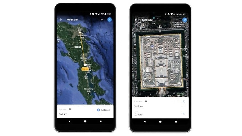
Google Earth is rolling out a new feature that it describes as “one of the most requested" -- the ability to measure distance and areas. For those less familiar with Google Earth, it's a program that uses various geographical data to create a 3D representation of the globe. By zooming in, users can see birds-eye satellite images of well, almost anywhere.
Also read: Cryptojacking Emerging as Alternative to Ransomware: Quick Heal
Now using Measure Tool, Google Earth wants to help users know how far their hometown is from the North Pole, or simply measure the length of a hike they've just finished.
The tool doesn't just measure in straight lines or squares either, so even a large lake could be measured. Users simply select the borders as they go, a bit like connecting the dots.
A blogpost from Google notes that the Measure Tool will be available on Chrome Monday, Android later this week and iOS in the near future.
Also Watch: Top 5 Budget Smartphones - Xiaomi Redmi Y2, Honor 7C and More


Comments
0 comment