views
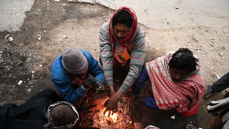
“Usually, the temperatures in Northwest India are below-normal during La Niña years. But this time, the forecast for its transition has not been very accurately predicted globally. The current situation suggests it may be a weaker one. In that case, Northwest India can experience some cold waves this winter but at present, it’s difficult to predict how severe they will be,” says Dr M Mohapatra, chief of the India Meteorological Department (IMD).
La Niña is a natural scientific phenomenon that exists when the surface temperatures across the equatorial Pacific Ocean start to cool down. This transition affects weather across countries as it changes the global wind flow. In India, it strengthens the southwest monsoon, and makes the winters exceptionally cold and harsh, especially over the north-western region. But if La Niña is very strong, then its effect also becomes evident over parts of the southern peninsula.
For the longest time, global forecasters have predicted that La Niña would set in during July-August soon after El Nino wanes. Instead, ENSO-neutral conditions prevailed till August and the equatorial sea-surface temperatures remained unusually warm — delaying the arrival of La Niña.
But the situation is now beginning to change — albeit slowly.
Most global forecasters, including the US-based National Oceanic and Atmospheric Administration (NOAA), are confident of a 70 per cent chance of La Niña during October-November. Unlike previous forecasts, it will be a lot weaker, and short-term. It is likely to peak only towards January-February, and continue through March next year.
“Normally, La Niña starts becoming visible by August-September and peaks by December, but strangely that did not happen. Now if at all it does appear, then there is a high probability that it may not be a strong one, which could have otherwise made the winters harsh. This is because once the equatorial sea-surface temperatures become cooler, then the prevailing winds also need some time to respond and influence the weather. Until there is some surprise,” said Professor Raghu Murtugudde from IIT Bombay.
Apart from La Niña, the winters in North India are also dominated by western disturbances. These storms travelling over the Mediterranean Sea towards the Western Himalayas can trigger rain and snow and sufficiently bring down the temperatures in December-January. However, it is too early to forecast their activity this winter.
Meanwhile, IMD has already predicted above-normal day and night temperatures for most parts of India this October, except some parts of Central India, and adjoining south-peninsula covering east Rajasthan, Madhya Pradesh, Chhattisgarh, Telangana, and Maharashtra where it could be normal to below-normal. The monthly rainfall is also forecasted to be above-normal — a stark 115 per cent above the long-period average (LPA).
The year 2024 is already on track to becoming the hottest year globally after a string of record-breaking monthly temperatures. The July-August period was the warmest on record, at par with 2023, and triggered extreme weather events worldwide. However, a clear picture would emerge from the Met’s winter outlook to be issued in November, followed by the extended range forecasts issued every fortnight.


Comments
0 comment