

As temperatures remain surprisingly cool across various regions of the country amid frequent rains, anticipation builds around the crucial monsoon season and its potential impact. With the monsoon holding great significance for numerous reasons in India, the focus shifts to how it will unfold in the coming weeks.
Now, let’s examine the predictions made by weather forecasts and delve into the factors behind the current weather conditions observed thus far.
Why a Cooler Summer?
Delhi has experienced its coolest May in 36 years. The India Meteorological Department (IMD) reports that the city received above-average rainfall, leading to a decrease in the average maximum temperature, which stood at 36.8 degrees Celsius.
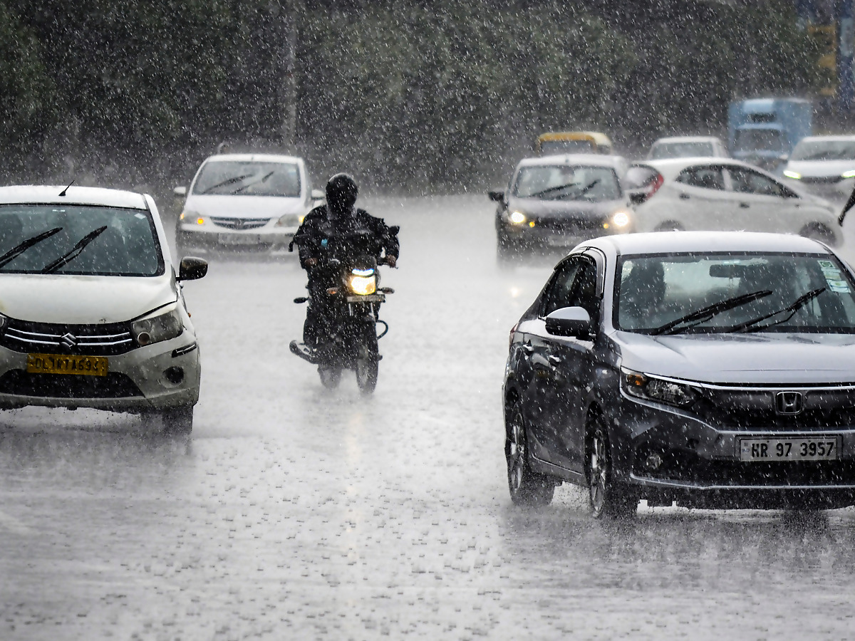
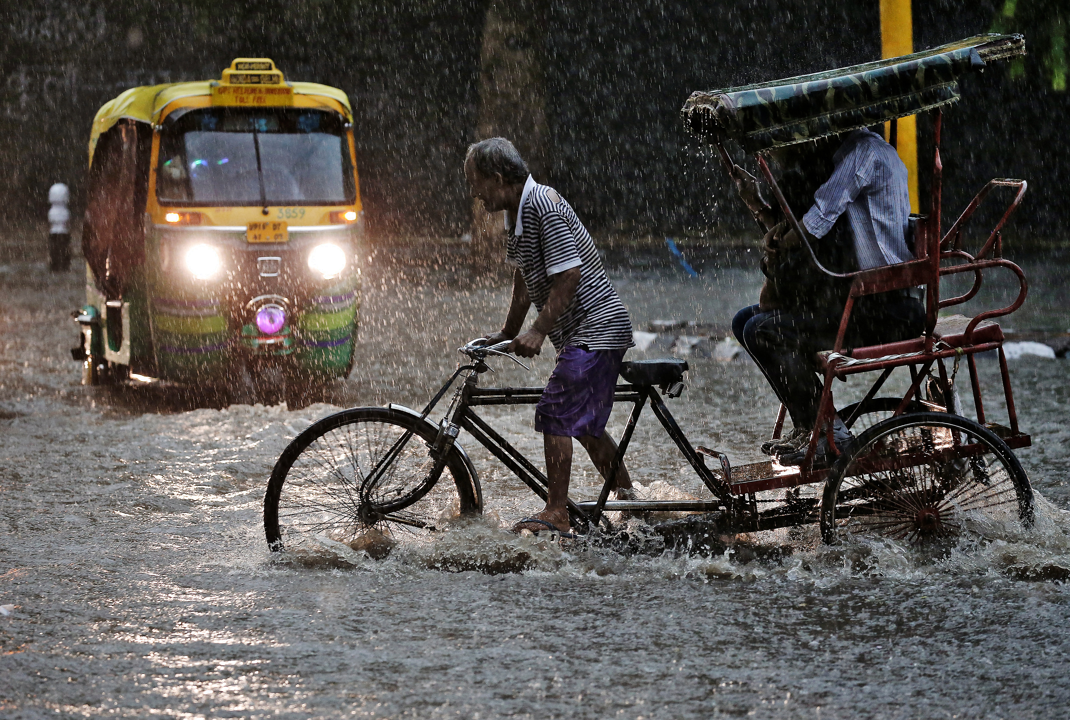
But the city is not alone. Intermittent rain, including occasional heavy downpours, particularly over northwest and central India, has contributed to maintaining cooler temperatures. The rainfall experienced during the months of March, April, and May has exceeded the typical levels, with central India being particularly influenced by wet weather conditions.
With the exception of certain areas such as Bihar, Jharkhand, West Bengal, and the Northeast, the average maximum temperatures have remained significantly below normal across most regions. Interestingly, some of these areas are currently experiencing heat-wave conditions, as per a report by Indian Express. Rajasthan, known for its scorching temperatures, has only encountered 2-3 days of heat waves throughout this season. Furthermore, during the first and last 10 days of May, severe heat waves were virtually non-existent across the country, the report says.
But why is this?
As per a previous News18 report, a series of three consecutive active Western Disturbances impacted the Himalayan region starting from April 27 and May 3.
These disturbances, originating from the Mediterranean Sea and moving eastwards, brought significant rainfall and snowfall to both hilly areas and plains for nearly a week. Experts suggest that such unusual weather patterns can be expected during El Nino years, characterized by warmer ocean surface temperatures in the central and eastern tropical Pacific Ocean.
Dr. M Rajeevan, former Ministry of Earth Sciences (MoES) secretary, highlighted that the Western Disturbances were deeper and had a broader impact on the plains this year due to the influence of El Nino.
However, he emphasized that these variations are year-to-year occurrences, and long-term trends should be a cause for concern.
What does this mean for the monsoon season?
According to the Indian Express report, The current weather patterns are influenced by localized interactions in the short term and do not have long-term implications for the weather. The outcome of the monsoon season is still uncertain.
Scientists have predicted a notably strong El Niño occurrence this year, with the Indian Meteorological Department (IMD) suggesting that a positive Indian Ocean Dipole (IOD) could partially counteract its impact. However, El Niño typically exerts a more significant influence on the monsoon compared to the IOD.
The monsoon has been delayed, with its current position below Sri Lanka in the Indian Ocean after reaching the Andaman and Nicobar Islands last week. The IMD forecasts favorable conditions for the monsoon’s northward progression over the next 2-3 days, the report says.
The monsoon has been delayed, with its current position below Sri Lanka in the Indian Ocean after reaching the Andaman and Nicobar Islands last week
Traditionally, the monsoon arrives along the Kerala coast by June 1, marking the commencement of the four-month period responsible for around 75% of India’s annual rainfall. This year, the IMD predicts that the onset in Kerala is not likely to occur before June 4. However, some other forecast models differ from this.
Why difference in forecasts?
Obtaining vast volumes of information about the status of the atmosphere and the surface of the Earth, such as temperature, humidity, and wind conditions, is the basis of contemporary weather forecasting, explains a report by the Guardian. Extrapolating from available observations and previous forecasts helps to fill in data gaps. This serves as the beginning point for forecast models, which are collections of equations governing physical and chemical processes.
Supercomputers called “petaflops” that are able to perform one quadrillion calculations per second are fed with all of this data. Due of the complexity of forecast models that approximation atmospheric dynamics, these are required. The complexity of these models has increased as science has developed. In order to explore the probabilities of various outcomes, forecast models are run repeatedly using slightly different starting data thanks to the increased number-crunching capability of “ensemble forecasting,” the report says.
The answer boils down to the fact that each agency makes use of its own algorithms and formulas to forecast the weather. “You start with the same fundamental mathematical equations that govern the motion of the atmosphere. But the coding is different,” Meteorologist Jeff Masters, founder of Weather Underground told the Virginian Pilot.
Every forecaster begins with the same unprocessed information, a “firehose” of data coming in from satellites, radar, and weather stations all around the world. They must next select how to analyse the data and which factors are pertinent in each circumstance, a report by Mental Floss explains.
More observations are available to certain forecasters than others. Additionally, they employ various algorithms based on several forecast models with various degrees of detail. Some apps merely produce predictions based on computer models, but others work with meteorologists to monitor and make corrections, particularly during unusual or extreme weather, the Guardian report says.
Why is monsoon forecast important for India?
Rainfed agriculture is a critical component of India’s agricultural landscape, with 52 percent of the net cultivated area relying on this method. It accounts for about 40 percent of the country’s total food production, making it a crucial contributor to India’s food security and economic stability.


Comments
0 comment