Two Experts Decode New Mapping Policy Guidelines, Explain Why This is a Giant Leap Forward for India

views
Earlier this week, the Department of Science and Technology (DST) issued a new set of guidelines under the National Map Policy 2005. For the first time, the government has made it clear that ordinary citizens can create, collect, publish, and keep maps (both physical and digital) without asking the government for permission or getting security approvals. This is a welcome step that should have been taken decades ago.
It stands in stark contrast to the draconian Draft Geospatial Information Regulation Bill, 2016, which effectively banned the acquisition of geospatial data (i.e., mapping information) without a government licence. Had it passed, it would effectively have rendered all unlicensed maps (or even collecting of underlying data for a map) illegal, and in its plain reading would have penalized students drawing inaccurate maps during their geography lesson. Thankfully, that proposed Bill never materialized into an Act.
The contrast between the guidelines and the Bill shows how the central government is not a monolith: different bureaucrats and ministers take drastically different approaches to the same issue.
A Boost to Open-Source Mapping
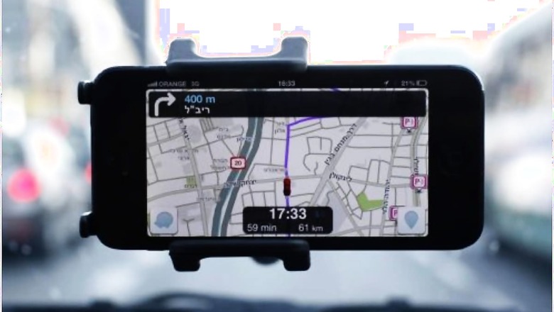
The new guidelines emphasize mapping data as an asset to be used for India’s benefit. With the new guidelines, high resolution mapping by private citizens, which in some cases was already being undertaken in a gray zone of legal uncertainty, will become clearly legal. “Street view” maps, which show photographs superimposed onto maps to create a virtual reality experience, are also legalized. Importantly, all existing geospatial data produced by any central government entity using public funds is required to be publicly shared—free of charge with other government departments, and at a “fair and transparent” fee for others.
Given how guarded departments have been of their data, this is quite revolutionary. However, as with the National Data Sharing and Accessibility Policy, the National Open Standards Policy, and the RTI Act, revolutionary policies and laws are only as revolutionary as their implementation would allow them to be. There is some room for improvement: non-commercial use of the data should be exempted from fees. Citizens should not be made to pay for non-commercial usage of data that they’ve themselves funded with their taxes.
These guidelines are welcome news to India’s burgeoning community of open-source mapping. The largest such volunteer-driven mapping effort, OpenStreetMap (OSM), powers everything from the maps used by taxi aggregators to those used by the United Nations for disaster relief missions. India has unique addressing and navigation challenges that can only be solved through localized research and standardization.
ALSO READ| India’s Revolutionised Mapping: What is Geospatial Data & Why are Tech Companies Welcoming the Move
In a city like Bengaluru, streets can be one-way one day and one-way in the reverse direction the next, and often directions are used instead of addresses. Such bureaucratic caprice and mapping realities can only be reflected in a digital map with some amount of accuracy by decentralized volunteer-driven projects, which have the potential to be both faster and more detailed. Further, if you go to remote parts of India, such as the hinterlands of Himachal Pradesh, you will find that commercial maps such as Google Maps do not provide nearly the same amount of detail as volunteer-driven OSM, to which anyone can contribute.
Need Collaboration, not Protectionism
While the new guidelines bring much-necessary liberalization, they come along with some protectionist measures as well. They prevent non-Indian entities from enjoying the new licence-free regime. They also require that maps with spatial accuracy greater than 1 metre horizontally or 3 metres vertically be created by an Indian entity and stored on Indian servers. This could potentially jeopardize open mapping—while it is predominantly Indians who contribute to efforts like OSM, there’s no restriction placed in such a volunteer-driven effort. Further, OSM servers are located all over the globe, and it is unclear why an India-located server is better. Lastly, it is also unclear whether these regulations are in line with India’s obligations under the WTO’s GATS (General Agreement on Trade in Services) framework. A better way to promote Atmanirbhar Bharat in this sector would be to stop depending on foreign companies by requiring government entities to use only maps generated by Indian entities, which are openly licenced, and put no burden on the exchequer.
We have seen the government collaborate with mapping communities in the past. For instance, Mapathon Keralam was launched in 2019 by the Kerala State IT Mission and volunteers to map critical assets in the state for emergency and rescue operations, and was found to be very useful by the Kerala government. We need more such collaborations to improve everything, from disaster management to bus schedules and routing. To enable this, administration at all levels—central, state, municipal, and taluk—need to work with civic hackers, and ways and means must be found to encourage public-spirited technologists as well as the commercial mapping industry.
As the guidelines recognize, the government also needs to bring other policies, such as those covering remote-sensing and the national spatial data infrastructure, in line with the new guidelines, and streamline the flow of data within the government. Importantly, stakeholders should be publicly consulted before the formulation of further guidelines and policies, since they can advise the government on how to unlock the full potential of mapping through the usage of open standards and APIs (for technical interoperability), open licences (for legal interoperability), and open metadata and vocabularies (for semantic interoperability), along with insights into civic and developmental issues to tackle with technology.
The DST has shown great sagacity through this commitment to removing the yoke of superfluous regulations that has held India back: now we must move forward to translate this into results on the ground.
Read all the Latest News, Breaking News and Coronavirus News here


Comments
0 comment