
Time-lapse animation shows Hurricane Sandy from 35,800 km above the Earth.
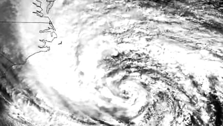
This time-lapse animation shows Hurricane Sandy from the vantage point of geostationary orbit—35,800 km (22,300 miles) above the Earth. The animation shows Sandy on October 28, 2012, from 7:15 to 6:26 EDT. Light from the changing angles of the sun highlight the structure of the clouds. The images were collected by NOAA's GOES-14 satellite.The "super rapid scan" images—one every minute from 7:15 AM until 6:30 PM EDT—reveal details of the storm's motion.NASA animation by Kevin Ward, using images from NOAA and the University of Wisconsin-Madison Cooperative Institute for Meteorological Satellite Studies.
####


Comments
0 comment